Coastal sea level is recognized as an essential ocean variable with profound societal implications. It lies at the intersection of multiple Earth system components, where the ocean, atmosphere, cryosphere and solid Earth interact to generate variability across a wide range of spatial and temporal scales. Identifying, disentangling, and understanding the processes reflected in sea level records is of paramount importance for anticipating future changes and their coastal impacts. Yet substantial observational gaps remain along many coastlines.
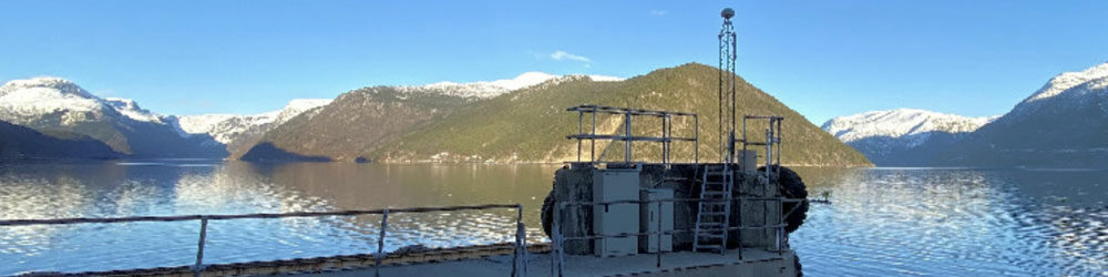
GNSS-Interferometric Reflectometry (GNSS-IR) has emerged over the past decades as a promising alternative or complement to traditional sea level monitoring techniques, particularly in challenging coastal environments. However, despite research efforts, the approach has yet to translate into operational use. Few tide gauge operators, if any, have adopted GNSS-IR or deployed GNSS antennas in their monitoring networks.
This ISSI Forum will address key technical and scientific questions to evaluate the potential of GNSS-IR methods for achieving the 1-centimeter-level accuracy target in measuring coastal sea level variability under diverse environmental conditions and forcing factors. Topics will include: What processes have been successfully captured to date? What are the most recent advances in GNSS-IR methods? And what challenges remain in meeting the accuracy target, especially for real-time monitoring?
Conveners: Guy Wöppelmann, Oda Ravndal, Per Knudsen, Marta Marcos